The Walking Blog
-
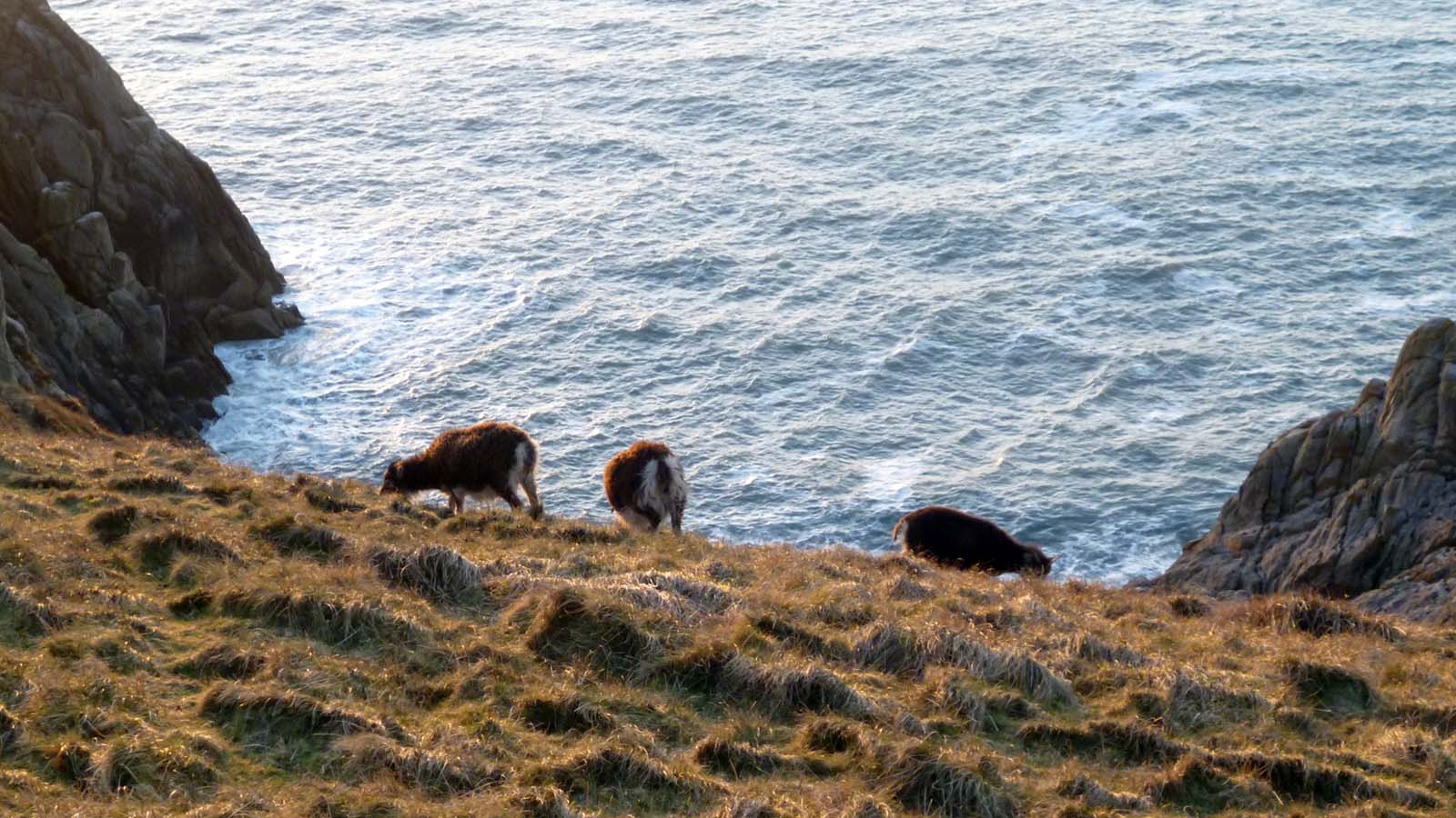
Fear of heights on Lundy Island
How to visit Lundy and have a holiday that is physically and mentally refreshing, rather than draining, and allows for a level of challenge and adventure pitched to avoid both boredom and terror?
-
Tips for choosing a challenge event.
Choosing the right event can make all the difference between a great day and a frustating slog that doesn’t achieve your goals. So what should you look for?
-
Our year’s foraging
It’s been a great year for foraging but, as always, it’s the stuff you don’t manage to do that sticks in the mind.
-
Picking things up
We’ve picked up walking again after quite a long period when it hasn’t been a major focus in our lives.
-
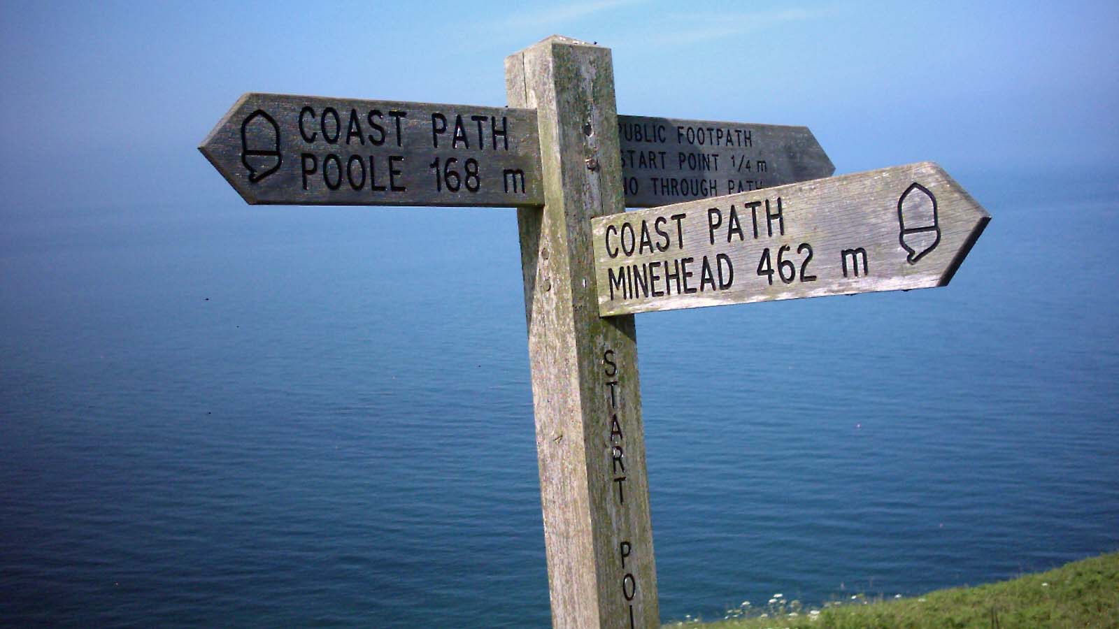
The Holy Grail
So – the holy grail of a national coast path around the whole of Great Britain is slowly coming to pass with a new 34-mile section of path opened between Hartlepool and Sunderland.
-
Literary rambles
What’s your favourite way to spend a blustery autumn day? Curled up by the fire with a cup of tea and a good book, or striding across the landscape breathing fresh air and getting some colour in your cheeks?
-
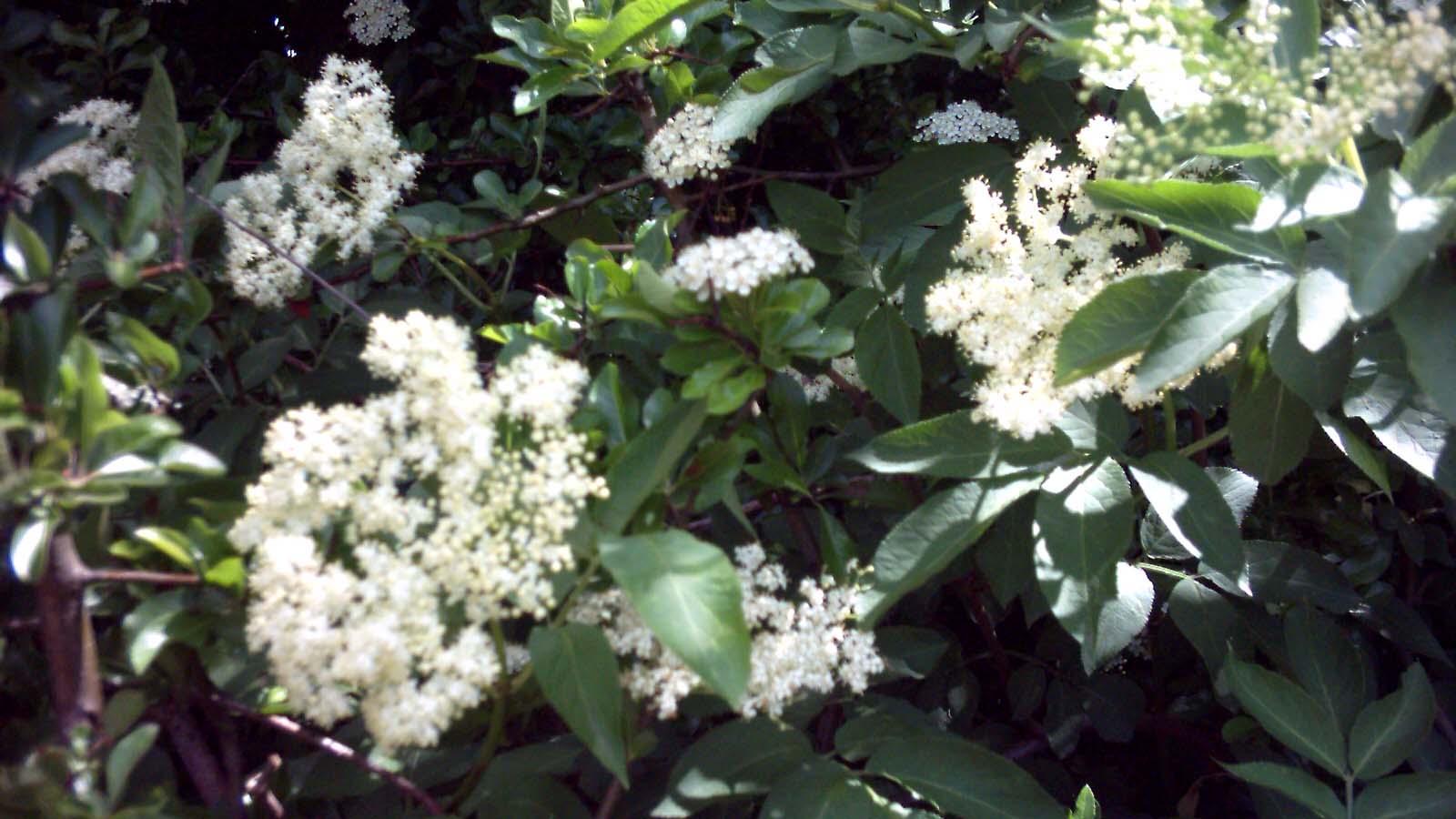
Autumn foraging
This year has seen a bumper autumn for foraging with a fantastic crop of fruit gathered by us from hedgerows within a short walk of the house thanks to the warm and mild spring.
-

Bure Valley
It has been a long-held ambition of mine to combine a trip on the Bure Valley Railway, a narrow-gauge railway running steam-hauled passenger services for nine miles between Aylsham and Wroxham, with a walk on its accompanying footpath. Our recent trip to Norfolk has finally presented us with the chance to accomplish this.
-
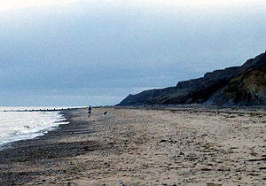
Overstrand
Hang about – what do you mean, Norfolk Coast Path extension?