These photos cover the Hitchin Outer Orbital Path as it travels down Gypsy Lane, the trackway that links Purwell and the Wymondley Road. Its route includes the Purwell Ninesprings Nature Reserve and the site of a Roman villa.
Click on any thumbnail to see an enlarged version. You can then scroll through the pictures and their captions using the arrows that appear on the edges, or by using your mouse wheel.
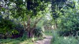
This side path takes you to Wymondley Wood
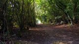
Leave the pavement here and follow the path into the trees
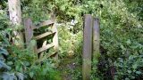
The less-used entrance to the nature reserve
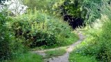
An optional path snakes through the Purwell Ninesprings Nature Reserve
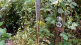
A side path leads off towards the site of a Roman villa
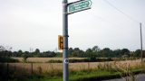
Birds have been known to nest in the top of this metal pole
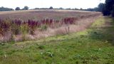
The dark corner of this field was the site of a Roman villa
Gypsy Lane at its widest
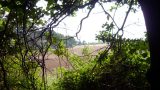
A glimpse of fields
Ripening blackberries
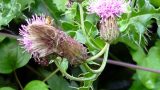
Hover flies on thistle flowers
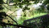
A glimpse of the fishing lake through the trees
Emerging onto the Hitchin to Wymondley road
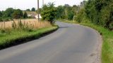
A short run of country road before the edge of town
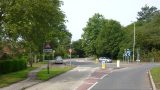
HOOP meets STOOP
Something fishy here
A view across to the railway embankment
Heading back into the fringes of the town to pass under the railway
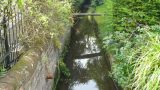
The Ippollitts Brook passes between houses
The route follows the pavement under this railway bridge